ROUTE OF THE WALL
A TOUR OF THE DEFENSIVE SIEGE OF MEDIEVAL CITY
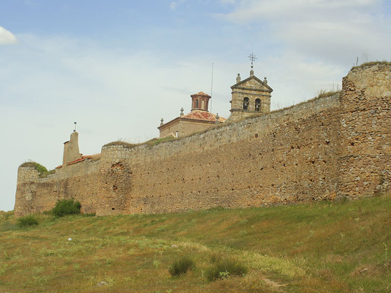
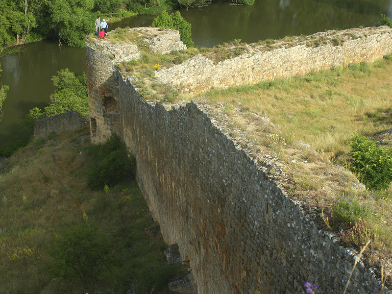
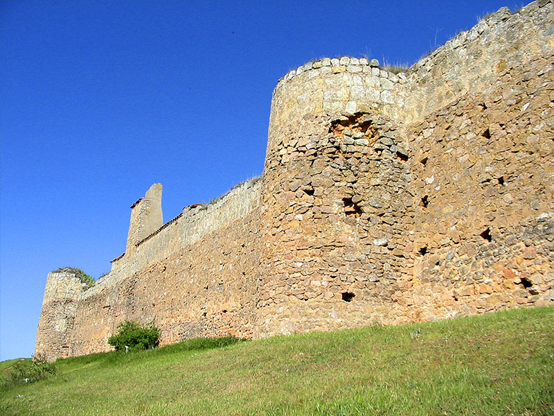
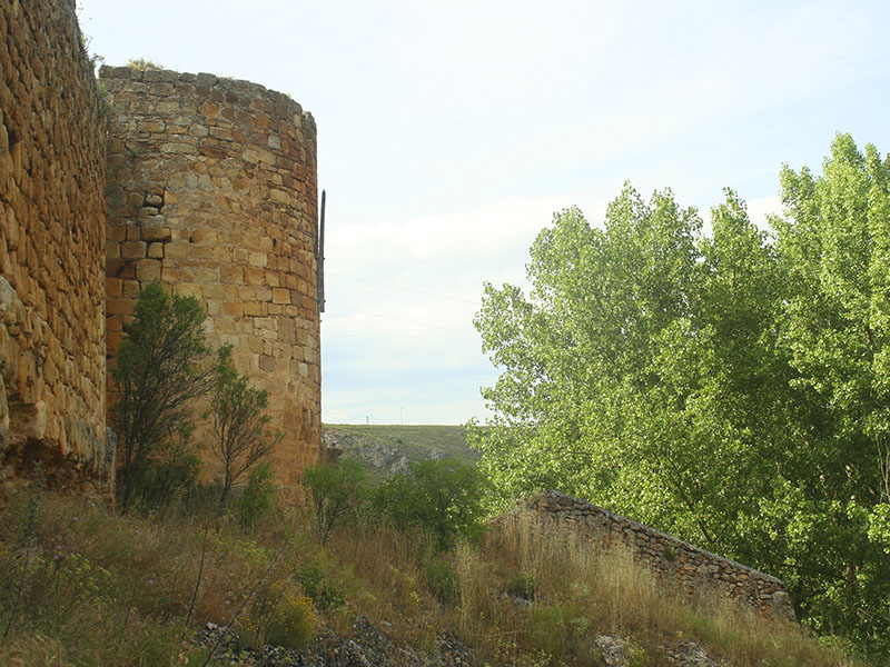
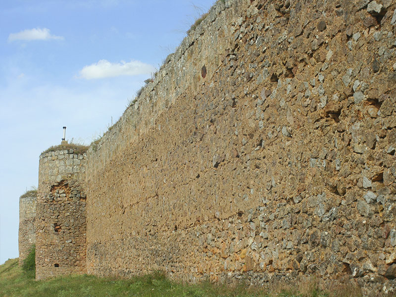
The medieval town was located on a col between the hill that occupied the castle and Myron hill so its defensive wall covered both lifts with a total length of 4,100 meters. The wall had numerous defensive cubes, 6 fortified gates, 2 wickets and almost 100 hectares of protected area. The weather was taking its toll on construction, being in the War of Independence the period in which there was the most severe deterioration.
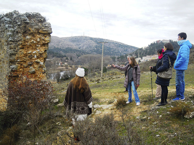
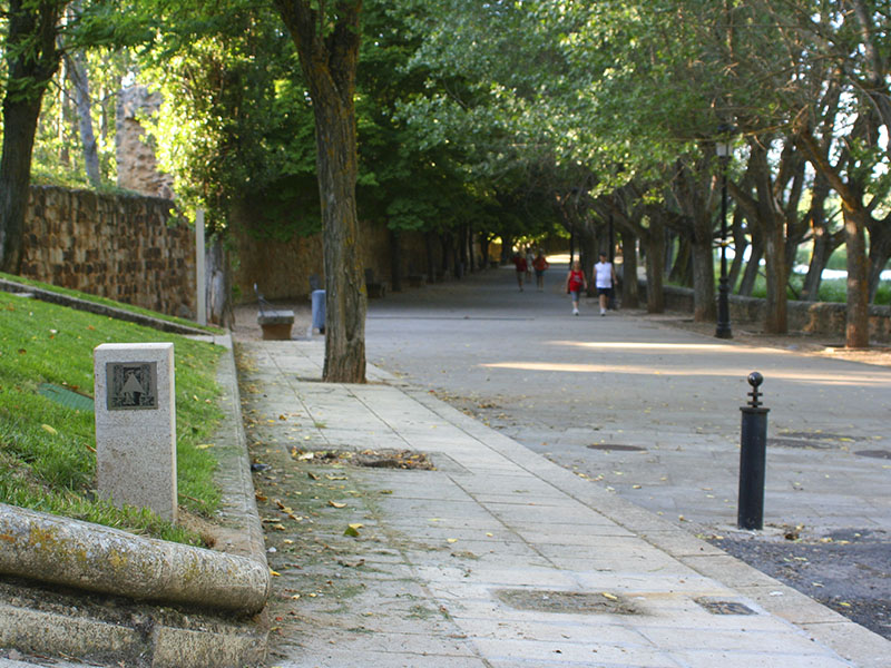
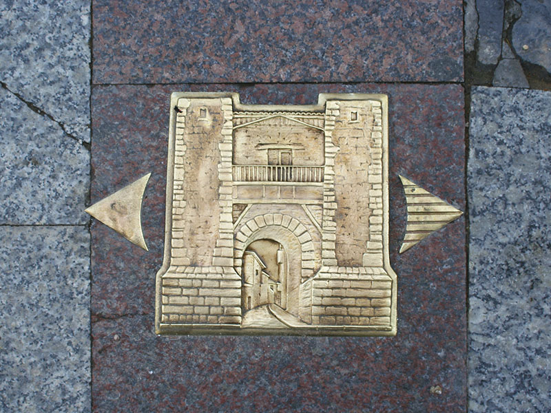
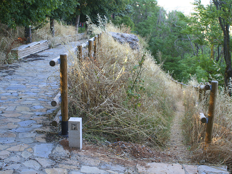
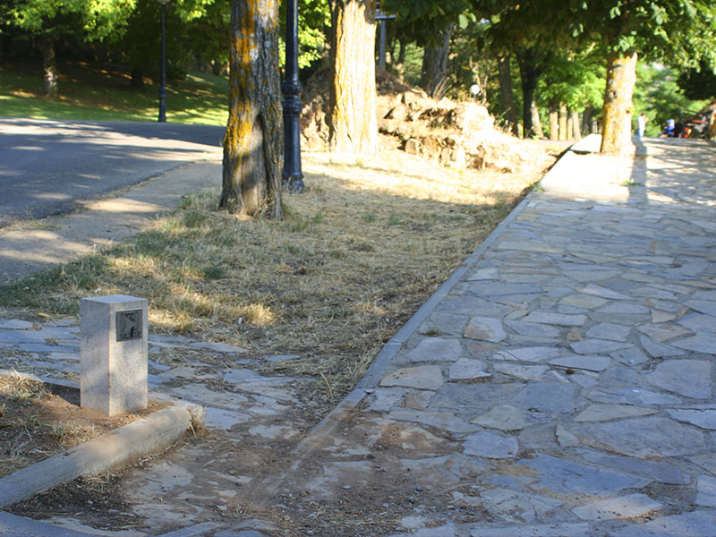
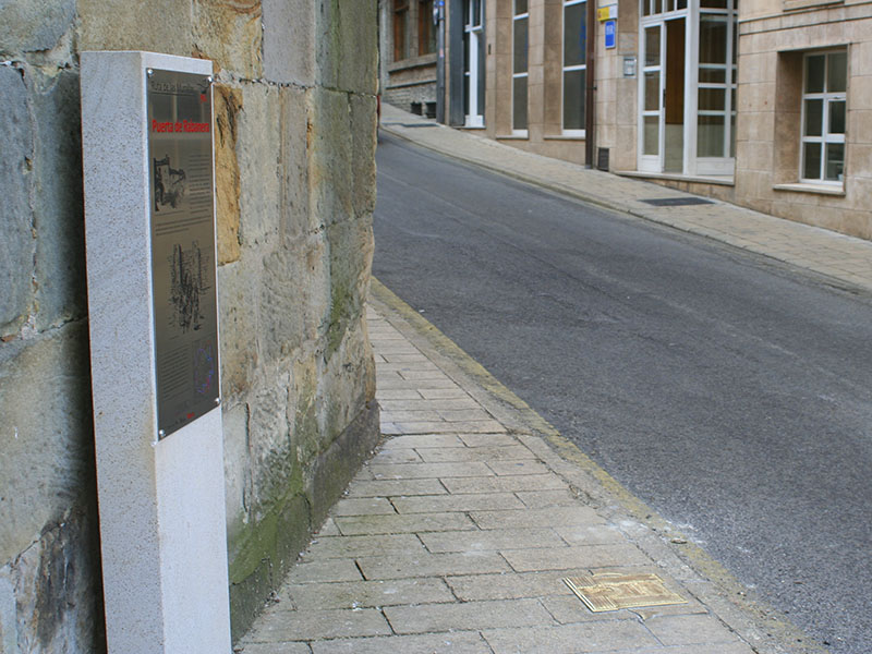
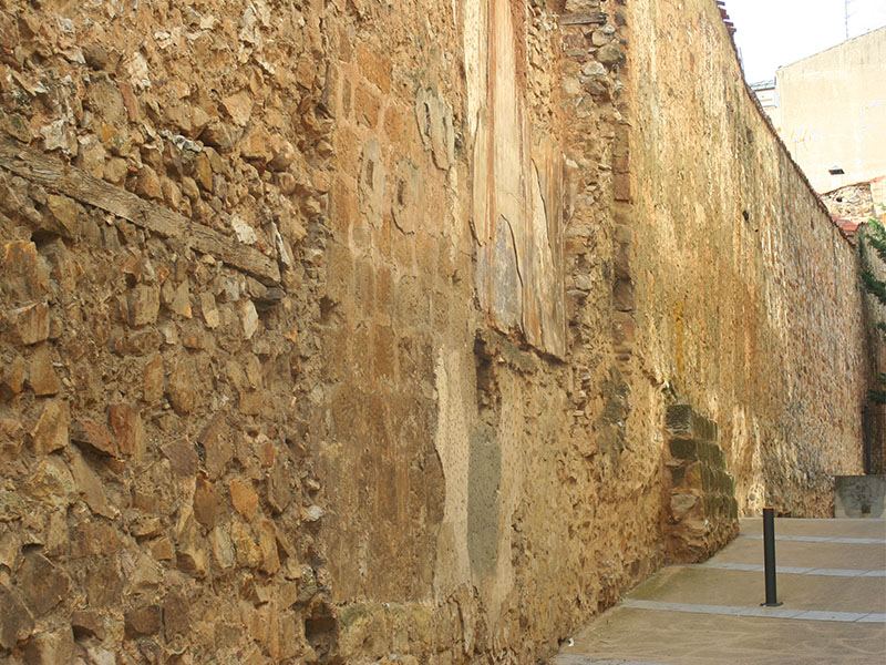
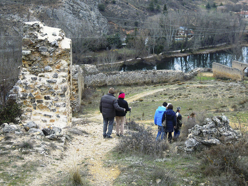
The current route of the wall is a hiking trail that runs through the streets in the urban and peri-urban roads in the area, and can be seen in some sections the remains are preserved today. The route is marked by bronze plaques installed arrows on the floor of the town and stone landmarks with directional plates in peri-urban areas. Similarly, there are informative monoliths in places where the doors of the wall were missing.
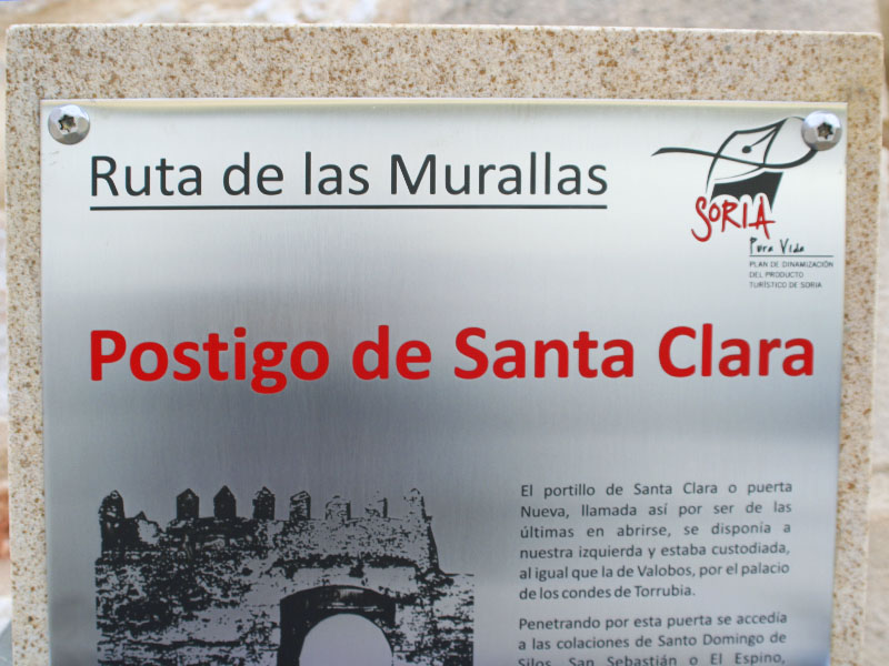
We started our tour in the center of the city, at the confluence of the Collado street with Claustrilla and Puertas de Pro streets where you will find a general plan of the route. At this point you can see the monolith that reminds us that in this place the Puerta del Postigo (1), which was flanked by two drums and a shield of Austrias large was located. Southbound, at the end of that Claustrilla street, at the junction with Calle Caballeros, the Puerta de Rabanera (2) he was. He owned two square cubes and for a long time, its top was used as a private dwelling. It was the last entry to disappear and the only graphic testimony that remains. At the end of the steep street Alberca Portillo de Santa Clara (3), named for the convent and now park, which was located stood here.
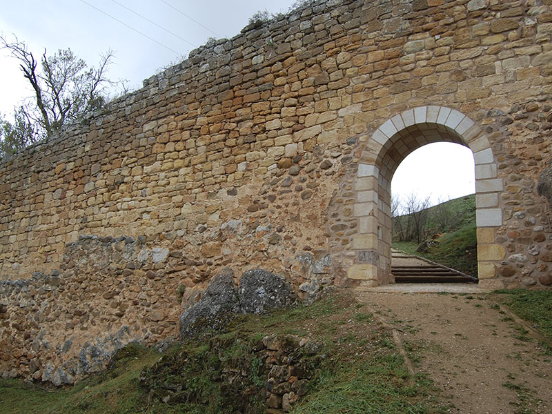
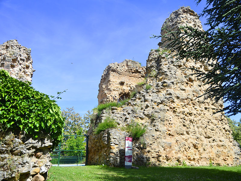
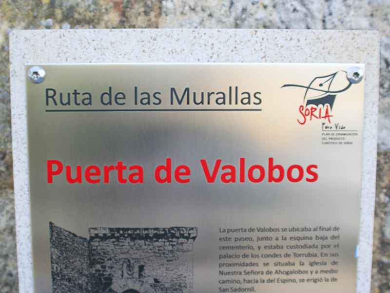
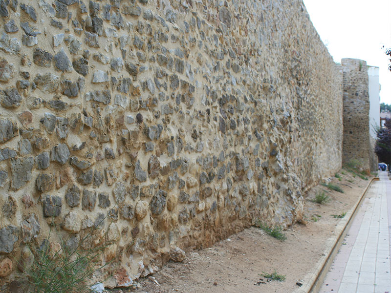
Here begins a stretch of wall rehabilitated with which we can get an idea of how the defensive wall of Soria was. In this direction, we turn next to the missing door Valobos (4), the southernmost. The wall would rise straight to the top of the hill of the Castle, along the outer wall of the cemetery, but we continue along the itinerary. The Castle (5) is a dim memory of what was a great strength of double enclosure with a large Jewish community living in the shelter of his protection. Currently only we can find the skeleton of the tower.
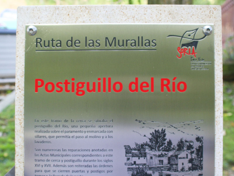
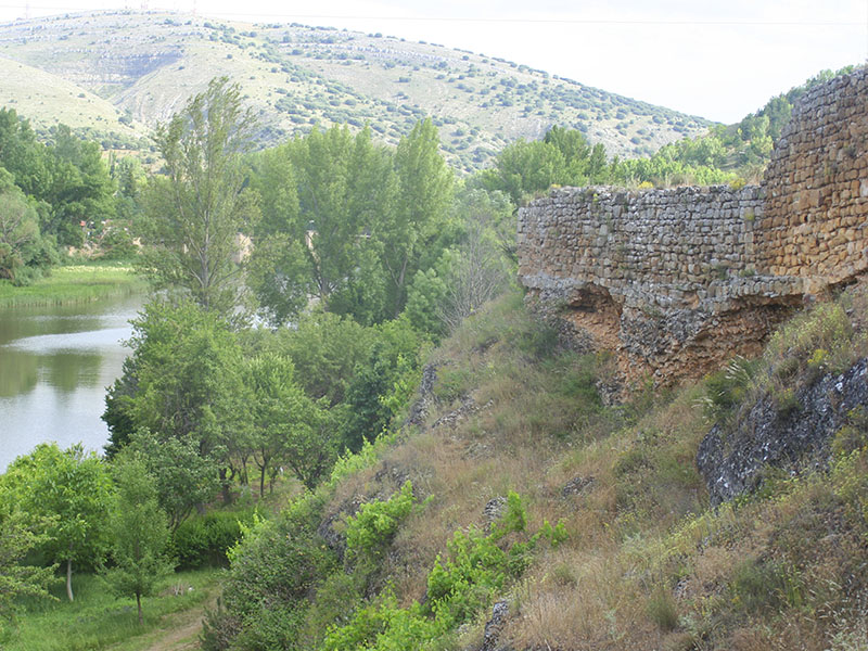
From here the wall fell sharply to the river, but our journey down the road more smoothly . When we reached the bank of the Duero, we are one of the portholes, the Postiguillo (6), taking the north enclosure. With the Paseo de San Prudencio ahead, we got to the door that, was the most powerful defenses of Navarre (7). In this the protection offered by the two towers that had joined the bridge.
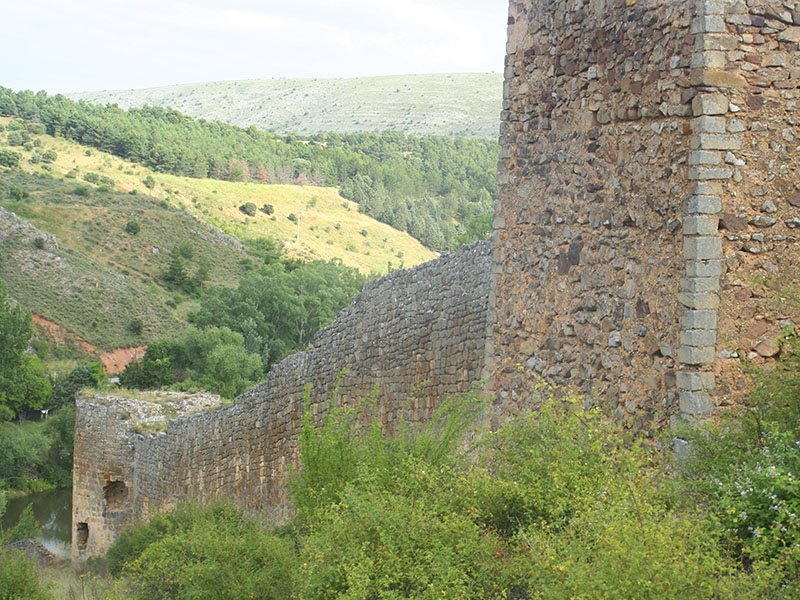
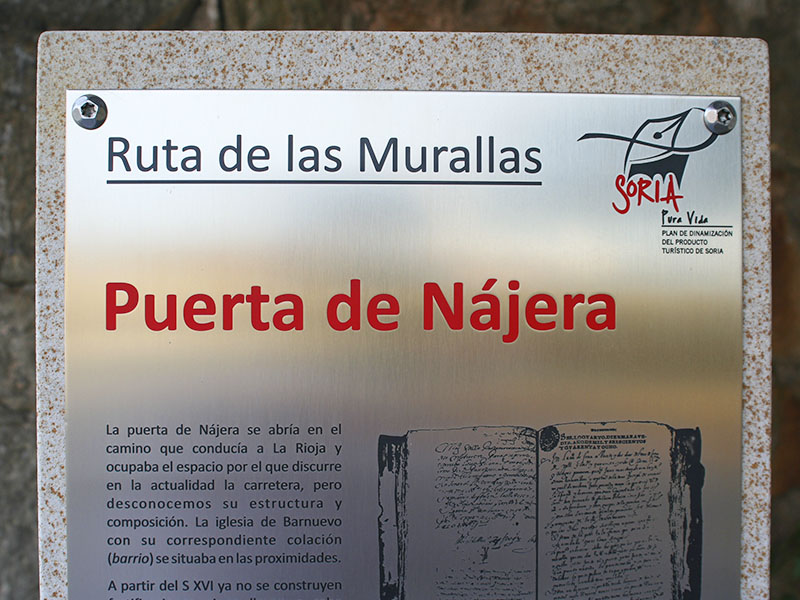
The wall continues parallel to the river, but we will take towards the hill of Miron by the itinerary. From this hillock Duero to find one of the longest and most interesting sections of the fortification. At the junction with Highway Logroño is the Nájera Gate (8) located. Continuing along the Paseo de la Florida arrived at the church of Santo Domingo, where the last of the openings was located, the Puerta del Rosario (9). So we can only go down the street Puerta de Pro to the starting point.
| Long | 5,5 Km aprox. | |
| Road | Urban | |
| Difficulty | Low-mid | |
| Terrain | Streets, roads and paths | |
| Brochure | Download info |


